By Joshua Blanco
Wildfires have burned through more than 4 million acres in a matter of months. California Governor Gavin Newsom uses the fires as a case-in-point illustration of the disastrous effects of climate change. And he’s not wrong.
The relationship between climate change and wildfire severity depends on several factors ranging from geography to public policy, and there is no denying that fluctuating weather patterns also play a significant role. As the fires continue to spread out west, more people are wondering if the same
thing could happen here.
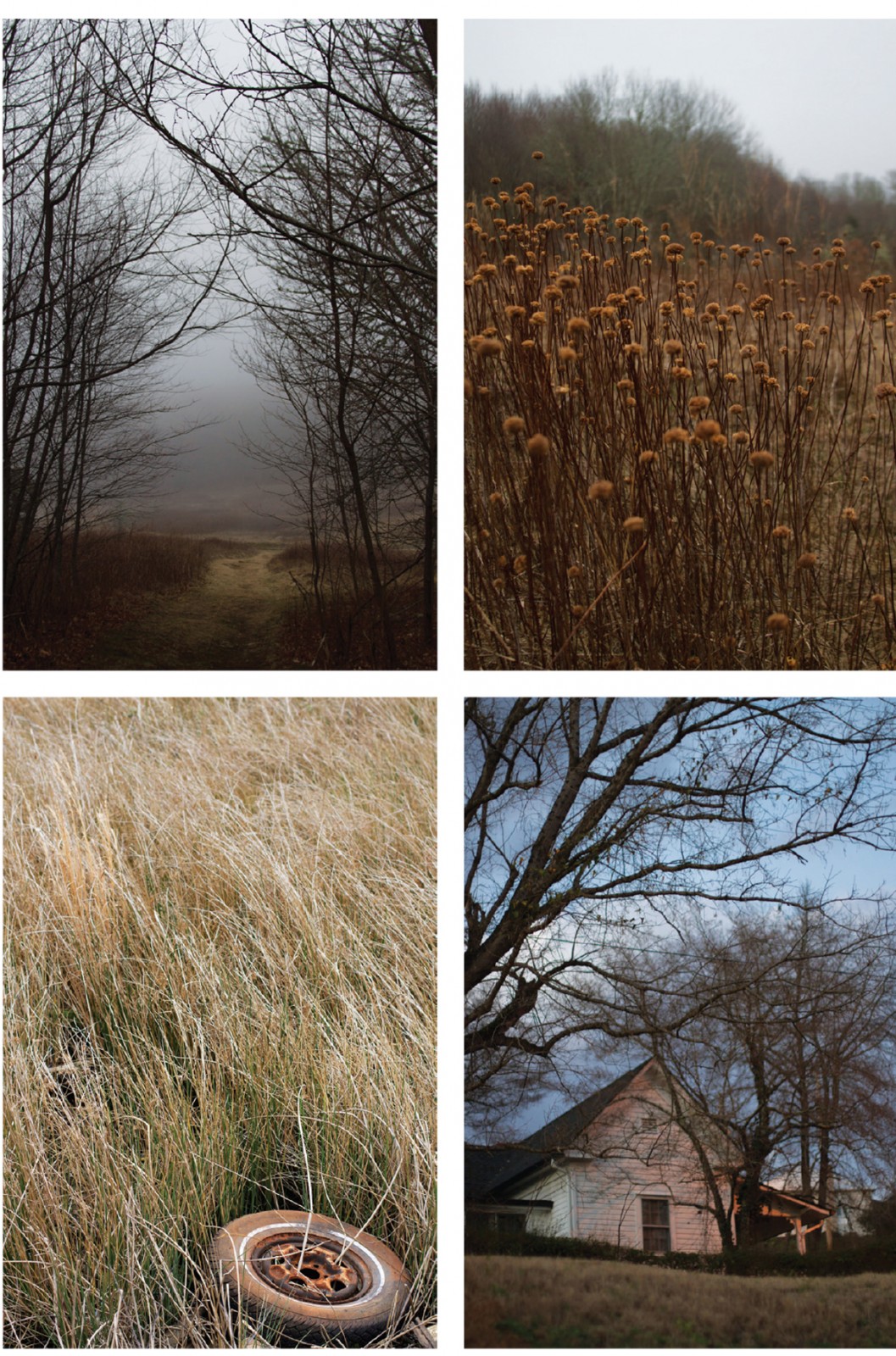
Photos by Melina Lentrichia
According to Hannah Thompson-Welch, wildfire mitigation specialist at the North Carolina Forest Service who just spent two weeks working on the largest wildfire in California history, the short answer is no. “California has a lot of similar wildfire risks as we have in WNC,” she says. “But the frequency
of high-wind events in CA contribute to more wind driven wildfires.”
Fortunately, any gusts moving through WNC forests pale in comparison to heavy winds off the Pacific. However, we do have two elements conducive to fires: drought and heat. According to the North Carolina Climate Science Report (NCCSR), the past decade was the warmest 10-year period in NC history. Based on the data, the researchers expect increasing temperatures and accompanying extreme drought conditions to continue.
Even though the report predicts an increase in rainfall, more precipitation will likely end up doing more harm than good because it fosters vegetation growth that, during a drought, becomes kindling for wildfire, fueling its spread. In 2016, the nation witnessed the result of one such drought, as wildfires in NC burned through roughly 80,000 acres of land. That was the driest fall the state had recorded in more than a century. “The likelihood of wildfire occurrence in our state is only going to increase as the drying rate of vegetative fuels goes up and average temperatures continue to increase,” says Christie Adams, North Carolina Forest Service information officer.
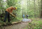
The good news is WNC is home to some of the best wildfire risk mitigation networks in the country, with hundreds of Community Wildfire Protection Plans already in place. This “very active” system, as Adams puts it, is crucial in fending off wildfires. It also helps that NC’s wildland urban interface—an area defined by the US Forest Service as a place where “humans and their development meet or intermix with wildland fuel”—is the largest in the country by area. If residents of these regions take steps to lessen susceptibility to wildfire, chances of a spread can be drastically reduced.
“Part of it is just getting in there with some sweat equity or some elbow grease and partnering with your neighbor,” says Thompson-Welch. “If you make a chain of that effort on the landscape, it’s going to reduce risk across the board.” The highest risk for wildfire is between mid-October and mid-December. To learn what precautions you can take, visit NCForestService.gov.
To read the NCCSR, go to the North Carolina Institute for Climate Studies website at NCICS.org.